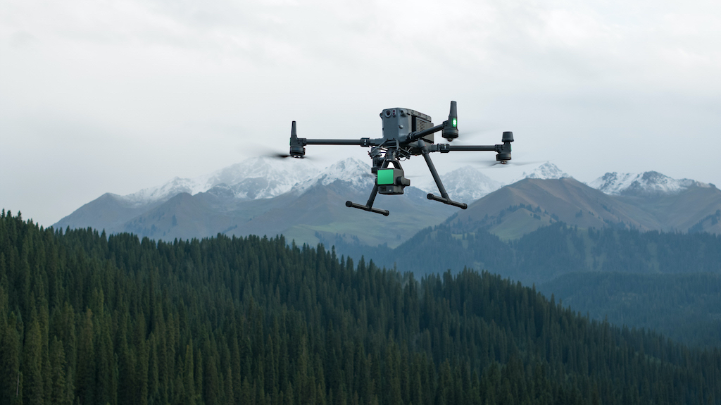
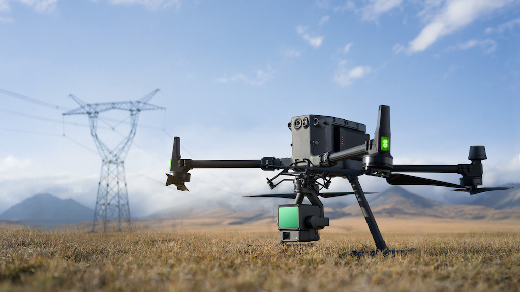
Transform your inspections with precision LiDAR data collection
LiDAR (Light Detection and Ranging) technology is revolutionizing the way industries conduct inspections and surveys
Traditional methods can be time-consuming, costly, and often lack the precision needed for detailed analysis. Our drone-based LiDAR inspection services offer a faster, more accurate, and cost-effective solution for capturing high-resolution 3D data.


Why choose our LiDAR inspection service?
Our team combines advanced drone technology with state-of-the-art LiDAR sensors to deliver comprehensive and precise inspection services. Here’s what makes our service exceptional:
1. High-Resolution 3D Mapping
Our drones, equipped with cutting-edge LiDAR sensors, capture highly detailed 3D maps and models, providing unparalleled accuracy for your inspection needs.
2. Efficient data collection
Drones can quickly cover large and complex areas, collecting data in a fraction of the time it takes traditional methods, ensuring timely project completion.
3. Enhanced safety
By using drones, we eliminate the need for personnel to access hazardous or hard-to-reach areas, significantly reducing safety risks.
4. Versatile applications
Our LiDAR services are ideal for a variety of applications, including topographic surveys, infrastructure inspections, vegetation management, and environmental monitoring.
5. Comprehensive analysis
We provide detailed reports and analyses, transforming raw LiDAR data into actionable insights that support informed decision-making.
Our LiDAR inspection process
Project planning and assessment
We start with a thorough assessment of your inspection needs, planning the flight path and data collection strategy to ensure optimal coverage and accuracy.
Data acquisition
Our drones, equipped with LiDAR sensors, conduct precise flights over the target area, capturing millions of data points that accurately represent the terrain and structures.
Data processing
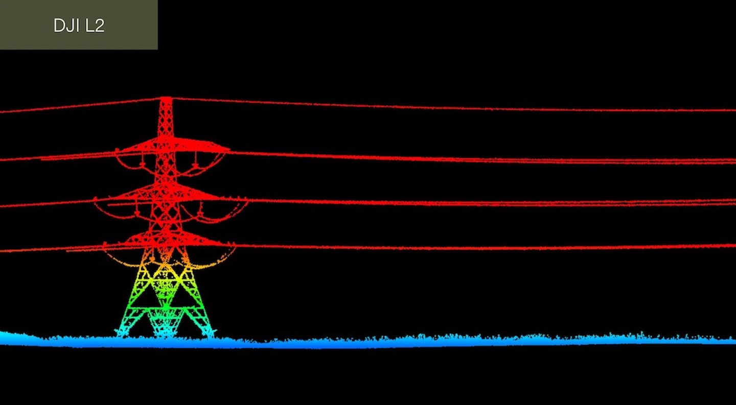
Utilizing advanced software, we process the LiDAR data to generate high-resolution 3D models, point clouds, and topographic maps, identifying key features and potential issues.
Reporting and analysis
We compile the processed data into comprehensive reports, including detailed visualizations and actionable insights tailored to your specific requirements.
Ongoing Support
Our services include ongoing support and additional inspections as needed, ensuring continuous monitoring and up-to-date data for your projects.

Benefits of our service
Superior accuracy
Achieve highly detailed and accurate 3D data, essential for precise analysis and decision-making.
Time and cost savings
educe the time and cost associated with traditional inspection and survey methods.
Improved safety
Minimize the risk to personnel by using drones to access challenging environments.
Versatile solutions
Benefit from our LiDAR services across various applications and industries.
Actionable insights
Receive comprehensive reports and analyses that translate complex data into meaningful information.
Our commitment
We are committed to providing top-tier LiDAR inspection services that deliver exceptional accuracy, efficiency, and safety. With our expertise and advanced technology, you can trust us to provide the detailed and reliable data you need for your projects.
Contact us today!
Ready to transform your inspections with LiDAR technology? Contact us today to learn more about our drone-based LiDAR inspection services and how we can help you achieve precise, efficient, and cost-effective data collection. Let’s work together to bring your projects to new heights with the power of LiDAR.
Apply for the service here!
We recommend that you entrust it to a professional service.
Our team will be happy to help you!
