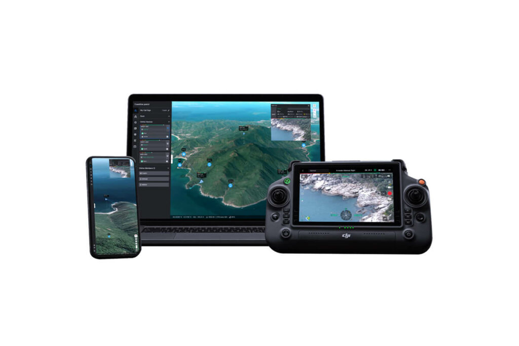
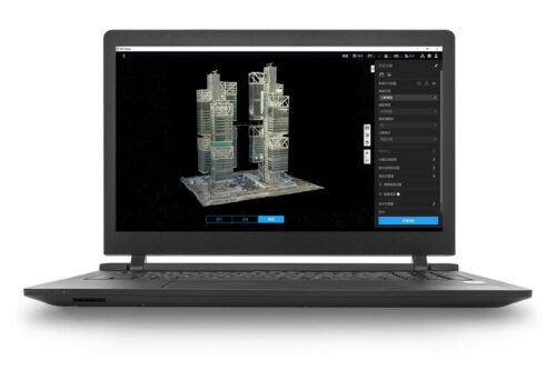
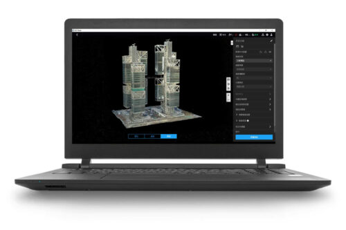
DJI FlightHub 2 Professional Version (1-Month Plan)
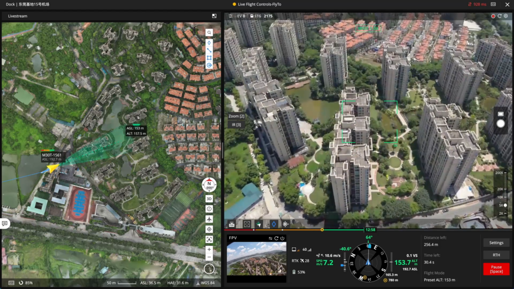
Virtual Cockpit
Basic Operations:
Easily control the aircraft and gimbal using your keyboard and mouse.
Camera View Management:
Effortlessly manage the camera view with Mouselook mode or quick operations like drag-select zoom.
FlyTo misions:
Simply set a FlyTo destination with one click, and FlightHub 2 will create a flight route, allowing the aircraft to reach the destination quickly and safely.
POI:
Select any location or PinPoint, and the aircraft will automatically orient and orbit around it for efficient and safe operation.
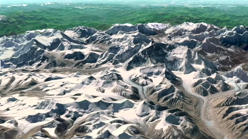
2.5D Base Map
Integrate elevation data with satellite maps to bring terrain awareness to your operation planning.
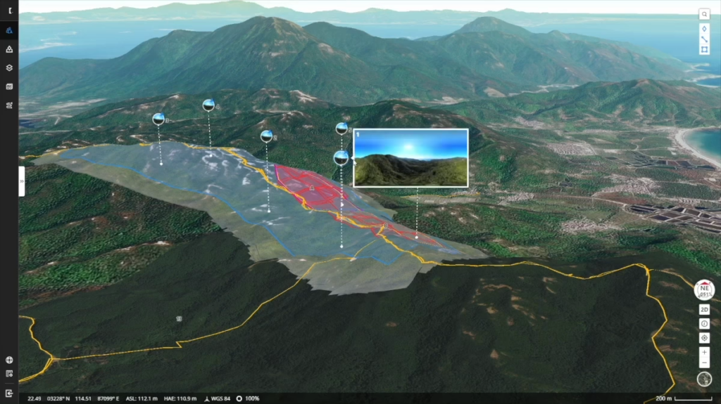
One-Tap Panorama Sync
Create a 360° overview and upload to the cloud with a single tap. Shared panoramas, and the coordinates they were captured from, are placed on your mission's 2.5D Base Map, granting all team members quick aerial awareness.
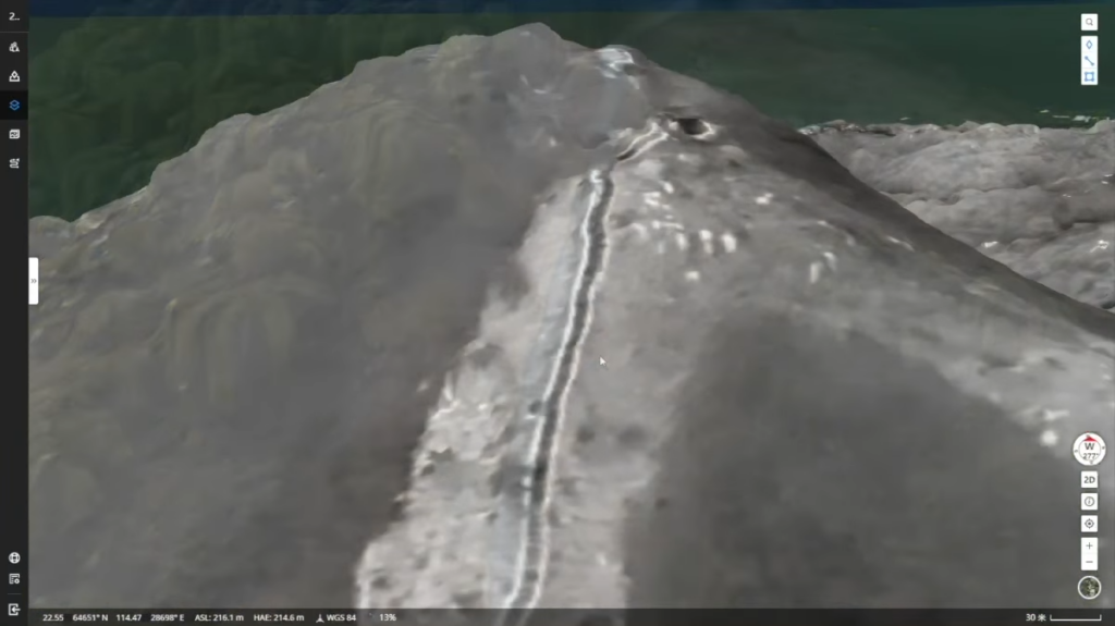
Cloud Mapping
Generate RGB or infrared orthomosaic maps of areas up to 1.5 k㎡ in a single flight. Orthomosaics are automatically overlaid on your 2.5D Base Map, granting you detailed awareness of your mission environment whenever needed.
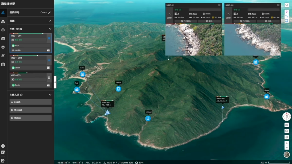
Mission Live Streaming
Connect multiple users to one or many drone operations simultaneously, and keep teams updated with the latest developments thanks to low latency, high-resolution live streaming.
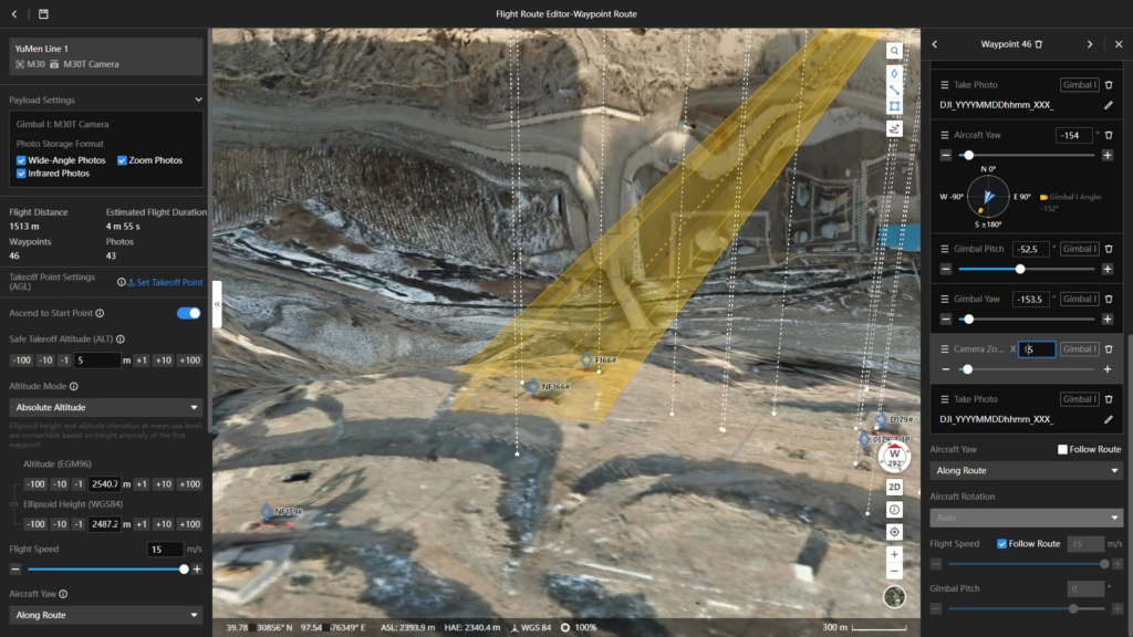
Waypoint Route
Create all kinds of flight tasks directly from your computer using the 2.5D Base Map. Preview expected results for each task point, ensuring flight route safety and data quality. Synchronize tasks with pilots for efficient and convenient execution.
Slope Route
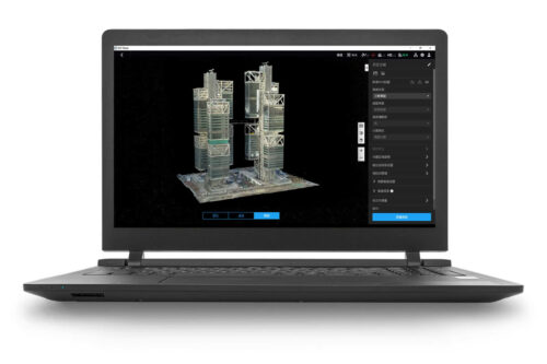
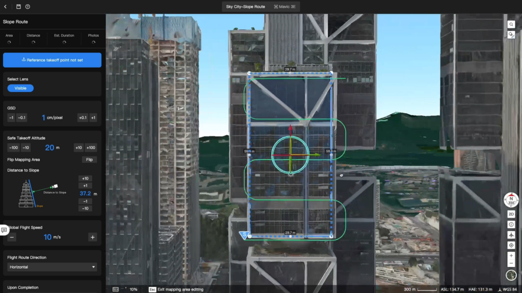
Based on models, users can quickly plan slope routes to meet the data collection needs of detailed single-side mapping for structures such as bridges and steep slopes. Combined with models, users can intuitively assess flight safety. The completed flight route files can be automatically synchronized to the remote controller, enhancing operational efficiency.
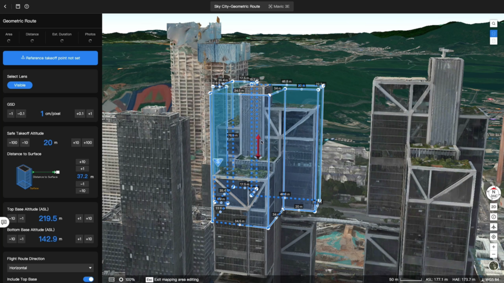
Geometric Route
When collecting detailed mapping data for single buildings or other structures, users can quickly plan geometric routes. By incorporating models, flight safety can be intuitively assessed. The completed flight route files can be automatically synchronized to the remote controller, enhancing operational efficiency.
